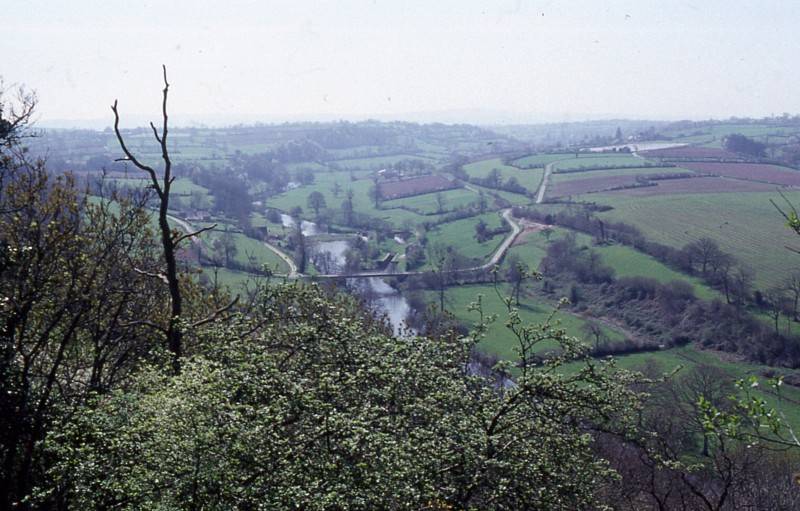
The river from the Rochers de Ham, south of St.Lô, 1991
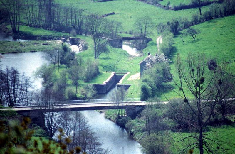
Hébert Lock from Les Rochers de Ham, 1991
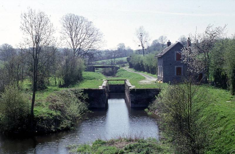
Hébert Lock from the road bridge, 1991
The Vire Navigation was created in the 1830's and ran 69 km from Pont-Farcy to the sea near Carentan. The navigation fell out of use in 1926, although it was not abandoned until 1938. Most of the locks have been converted to generate electricity.
|
The river from the Rochers de Ham, south of St.Lô, 1991 |
|
Hébert Lock from Les Rochers de Ham, 1991 |
|
Hébert Lock from the road bridge, 1991 |
French Waterways Menu Page
Miscellaneous Canals Menu Page
Main Canals Index
Waterways of France - Vire
Copyright reserved by the author, Tony Clayton
v4 31st March 2023