The River Wey

A Collection of Photographs taken by Tony Clayton


1 - Godalming to Unstead Lock


7 - New Haw Lock to the Thames <<-- : -->> 2 - Unstead Lock


Those photographs below taken in 1980 show the river in an unusual state, in that the reach between Unstead Lock and Catteshall Lock had been drained down for work to be carried out on Unstead Weir. Nonetheless they are of interest showing the shallow state of the canalised sections of the navigation at that time.


In Godalming

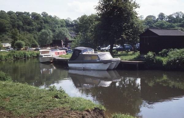
Just above Godalming Wharf, 1982
Our second Godalming mooring; our first was on the corner where the Iona trip boat moors.

In Godalming

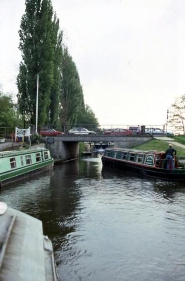
Looking downriver from the bend at Godalming Wharf, 1990
This was before Sainsburys store was built, and shows our third mooring at Godalming

Catteshall Lock

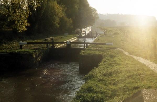
Catteshall Lock, 1979

Catteshall Lock

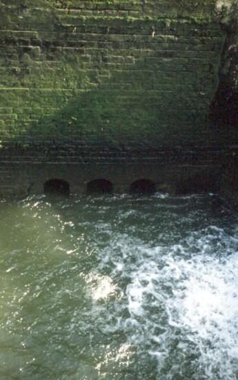
Old ground paddle sluices below the top gates of Catteshall Lock revealed when the river was drained, 1980

Catteshall Lock

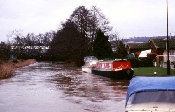
Catteshall Lock in flood condition, 1982

Catteshall Lock

Approaching Catteshall Lock from below, 1993

Trowers Bridge

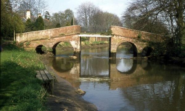
Trowers Bridge when the river was drained, 1980

Trowers Bridge

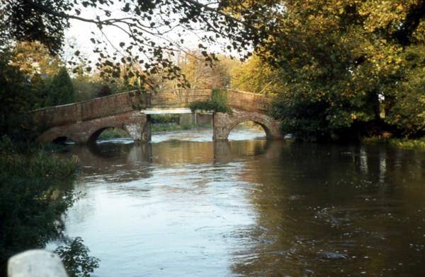
Trowers Bridge in flood conditions, 1982

Meadows

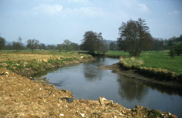
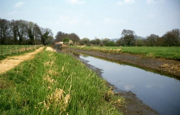
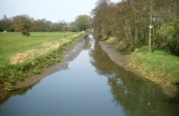
The meadows below Trowers Bridge, 1980

Meadows

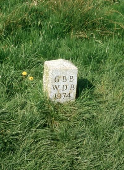
The Guildford/Waverley boundary stone which sadly disappeared shortly afterwards, 1980
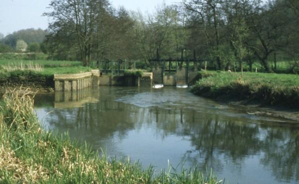
Unstead Weir

Unstead Weir, 1980

Unstead Weir

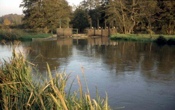
The normal appearance of Unstead Weir, 1982

Unstead Bridge

Looking towards Unstead Bridge, 1980

Unstead Bridge

Looking towards Unstead Lock from Unstead Bridge, 1980

Unstead Lock Weir

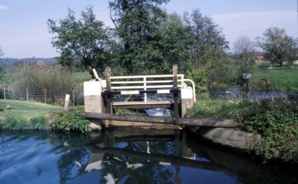
The weir immediately above Unstead Lock


The River Wey

7 - New Haw Lock to the Thames <<-- : -->> 2 - Unstead Lock
River Wey Menu Page


Other Canals

Canals of the South and South East
Main Index


River Wey - 1
Copyright reserved by the author, Tony Clayton
v10 26th March 2023

Waterways Ranking Button