The Shrewsbury Canal
A Collection of Photographs in the possession of Tony Clayton
Trench Incline
Trench Lock <<-- :
-->> Shrewsbury
Trench Incline was 223 yards long with a rise of 75 feet, a gradient of about 1 in 9.
It carried tub-boats, and was of the same design as the three on the Shropshire Canal.
It closed in 1921, the last to operate in the British Isles. At the top of the incline
the canal joined the Donnington Wood Canal, which led to the limestone mines at Lilleshall
and connected to the Shropshire Canal at the bottom of the Donnington Wood Incline.
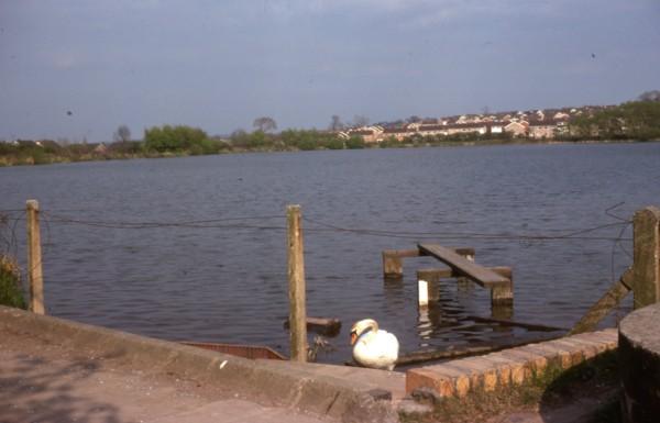
Trench Reservoir, the supply reservoir for the whole canal.
Taken from GR SJ 684125
|
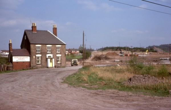
Looking up the site of Trench Incline in about 1977.
It ran up the hill to the right of the boundary hedge that can be seen above and to the right of the Landrover.
Construction of a new road has started.
|
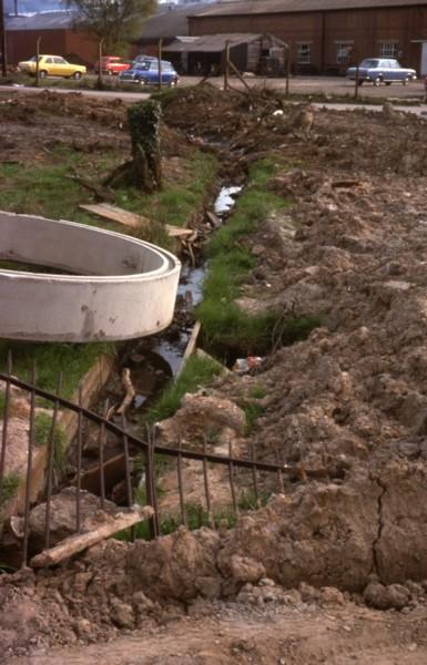
The cast iron aqueduct that carried a feeder to the reservoir over the foot of the incline, still in place while roadworks are in progress.
|
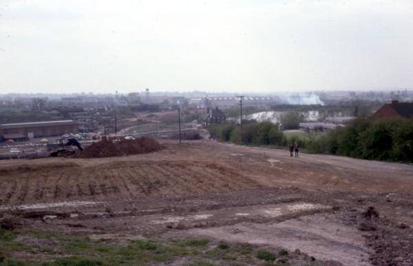
Looking down the line of the incline, 1977. Trench reservoir can be seen on the right.
|
The Shrewsbury Canal
Trench Lock <<-- :
-->> Shrewsbury
Shrewsbury Canal Index
Other Canals
The Shropshire Union
Canals of the West Midlands
Main Index
Shrewsbury Canal - Trench Incline
Copyright reserved by the author, Tony Clayton
v16 28th March 2023
